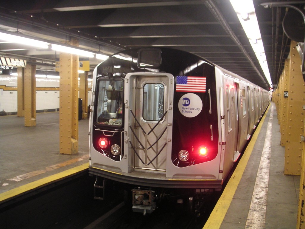
Much of New York City's infrastructure will be subjected to future hurricanes and sea-level rise. This seminar considers optimal protective measures for NYC infrastructure and how such measures should be put into place.

Leader: George Deodatis, School of Engineering and Applied Science
About the Readings
This case study focuses on the impacts and geographic reach of a 100-year Base Flood as a function of sea level rise on the transportation infrastructure of the New York Metropolitan Region. The analysis is based upon three ClimAid scenarios: (S1) comprising current sea level with a 100-year coastal flood along the coast and tide-controlled estuary; (S2) a 2-foot rise in sea level with a 100-year flood; and (S3) a 4-foot rise in sea level with a 100-year flood. Scenario S2 is expected to have significant impacts along the Brooklyn and Queens shorelines, around Jamaica Bay, and on the Rockaway Peninsula.
Due to the lack of centralized data on transportation infrastructure elevations for New York this study uses lowest critical elevations (LCE) to analyze the impacts. The combination of sea level rise and coastal storm surges is expected to limit the flow of vehicular and pedestrian traffic, parking patterns, and many of the MTA-NYCT bus routes. It can also slow access of first responders and emergency vehicles. In the case of tunnels and underground structures, risk to flooding is contingent on storm waters exceeding the lowest critical elevation of 8-9 ft., and whether adaptive or preventive structural measures have been taken. Many of the above-grade railroads, such as the NJ TRANSIT and PATH tracks in the Hudson, Hackensack, and Passaic River Basins are flood prone, and MTA Metro-North trains can encounter flood-prone segments. For transportation systems to operate properly, support systems are needed. The most prominent and potentially vulnerable are the electrical grid, pipelines and communication systems.
This case demonstrates the potential severity of climate change impacts of New York’s transportation sector, and the need for adaptation measures for a resilient transport system. Without investment in protective measures costs associated with transportation risks will increase and may reach an annual average of $1 million. Short-term measures (over the next 5-20 years) can be effective for a few decades and can be combined with medium-term (over the next 30 to 100 years) hard engineering measures to improve individual sites like stations and rail tracks and the system’s operational resiliency. Long-term Sustainable Strategies (from now to beyond 100 years) can be combined with the short and medium-term strategies and require comprehensive plans with time-dependent decision paths and “exit strategies.”
Discussion Summary
Current State of Infrastructure
There are numerous agencies in charge of different parts of NYC infrastructure. The MTA is in charge of some of the tunnels in NYC, but some authority lies with Amtrak, Port Authority, and both New York City and State. There are probably a dozen different agencies dealing with different parts of the transportation infrastructure in NYC, but no coordinating agency. Overall, any subway discussion is very political. Whenever there is friction between state and city, things don’t work with the subway.
Following Hurricane Sandy, the MTA decided to protect the subway system. There were $1B in observed damages from Sandy. The MTA developed a major program to cover every opening in the system predicted to be flooded from the study (4,000 openings). This system is now almost complete, but it doesn’t work in isolation. There is need for redundant measures. They have been successful in moving trains to higher ground in every event so far, but forecasts can change quickly. MTA is currently protecting areas that were hit hard during Sandy, but the next disaster may hit in very different areas.
Moving Forward
The New York metropolitan area needs a comprehensive plan, similar to those implemented in the Netherlands, that considers the entire geographic area, along with Long Island and New Jersey. This needs to happen at a federal level (or some other high level), with conversations still happening between city and state.
In many areas, sooner or later, people will have to move to higher ground. These may be places where there is continual damage on a yearly basis, even from nor’easters, in the same communities. Going back and repairing does not make sense from a cost-benefit analysis perspective. As an alternative to telling communities that they need to move, one approach could be to tell them that they do not qualify for disaster response because of their vulnerable location.
Questions for Consideration
- Should adaptation decision-making be left to individual agencies, to communities, or someone else?
- At what level should planning occur? And how can we plan ahead as opposed to in an ad hoc manner?
- Is there another umbrella organization, non-federal, that could be responsible for this?
- Are there other models, like the Netherlands, that we can look towards?